 FOR KIDS
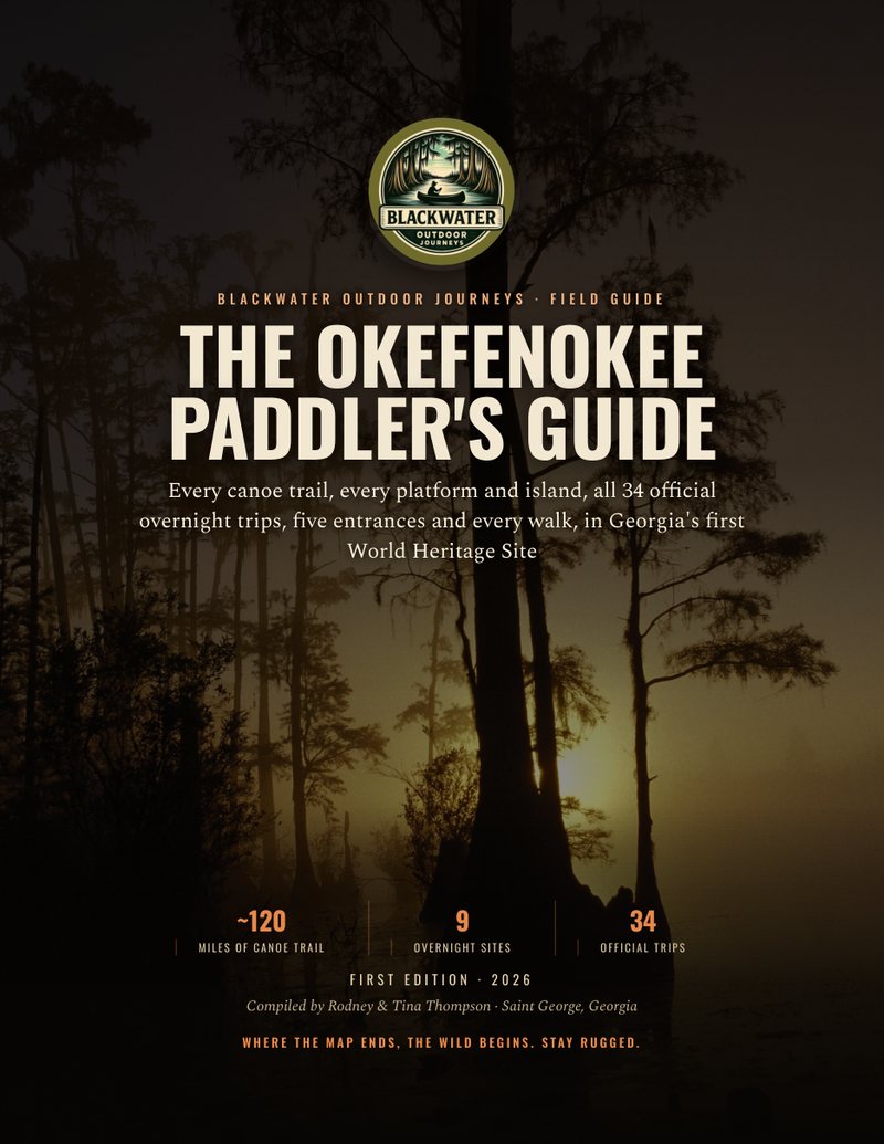
The Okefenokee Swamp: A Paddler's Guide
A vast blackwater wilderness of cypress forest and open prairie, threaded by designated water trails. The Okefenokee rewards paddlers who plan ahead, book their platforms, and paddle it on the swamp's own terms. Since July 25, 2026 the swamp is also Georgia's first UNESCO World Heritage Site.
The Okefenokee is a roughly 407,000-acre blackwater swamp and National Wildlife Refuge in southeast Georgia, a maze of cypress forest, open prairies, and tannin-dark water. Main entrances sit near Folkston on the east, Fargo and Okefenokee State Park on the west, and Kingfisher Landing to the north. Day paddling is available from the entrances; overnight trips follow designated water trails to platforms and require advance reservations and permits through the refuge. Expect a huge alligator population and confirm current rules before you go.
Low water this year has closed most of the refuge's trails and campsites. The water is rising, but staff have to inspect more than 100 miles of trail, clear hazards and service the toilets before more sites reopen.
- Open to camping: Coffee Bay and Canal Run (from Suwannee Canal Recreation Area, near Folkston); Mixons Hammock and Minnies Lake (from Okefenokee State Park, near Fargo). All other campsites are temporarily closed.
- Open trails: Orange to Canal Run; Red from the State Park to Minnies Lake; Brown to Mixons Hammock; Yellow to Cedar Hammock.
- Closed trails: Red from Kingfisher Landing to Minnies Lake; Orange from Canal Run to Billys Island; Purple from Round Top to the Blue; all of the Green and Blue.
- Permits: reserve up to one month ahead under the current notice (normally two). Every trip must begin and end at the same entrance, and the refuge may change or cancel a route if the water will not allow it.
- Kingfisher Landing has been closed since October 13 for railroad crossing work, expected to last about 7 to 10 days.
- Swamp Island Drive (Chesser Island Homestead and the boardwalk) is closed until noon on October 23 and 24 for the deer hunt.
Source: Okefenokee National Wildlife Refuge, checked 20 October 2026. This changes as the water comes up; call the permit line, 912-496-3331, before you drive. Every platform and island, site by site ›
Every camping platform and island
The refuge books 11 overnight sites: eight platforms, the Coffee Bay shelter, and two islands, Floyds Island and Mixons Hammock. Coffee Bay and Minnies Lake take campers only when the refuge opens them. Trail, miles, fires, launch times and what is open now, site by site: Okefenokee Camping Platforms and Islands.
What the Okefenokee Swamp is
The Okefenokee is a vast blackwater swamp in southeast Georgia, reaching a little way across the Florida line. The national wildlife refuge covers about 407,000 acres and protects 94 percent of the swamp. The World Heritage nomination calls it the largest mainly rainwater-fed lowland peatland in the subtropical zone anywhere on Earth.
The swamp sits in a shallow basin behind Trail Ridge, an ancient beach and dune ridge that forms its eastern edge. Peat began building here about 7,500 years ago and runs up to 5 meters, about 16 feet, deep. There is no single channel: the swamp is a mosaic of cypress forest, open wet prairies, small lakes and islands, and almost 90 percent of the refuge is federally designated wilderness.
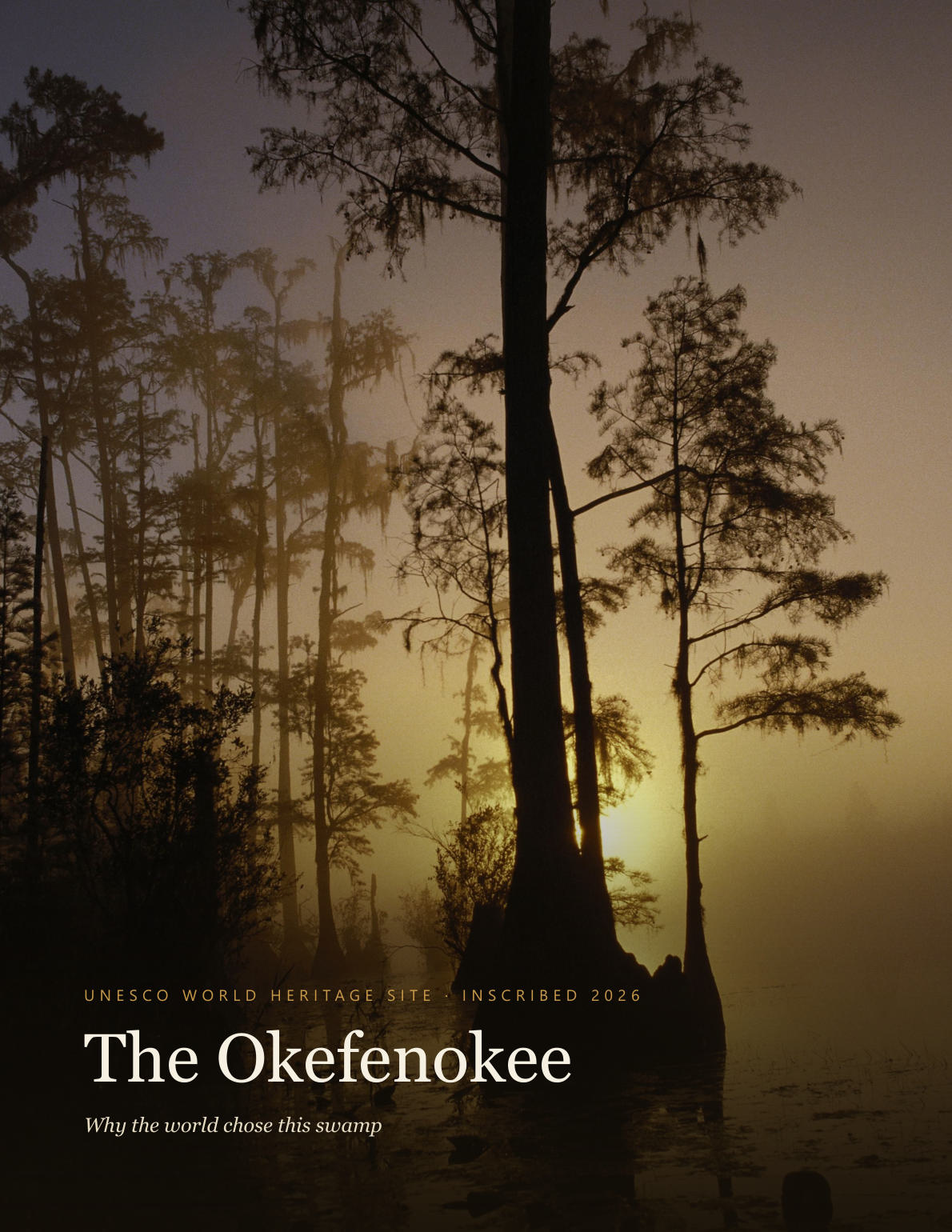
It is the headwaters of two rivers. The Suwannee runs west and south to the Gulf of Mexico, and the St. Marys curls east to the Atlantic. On July 25, 2026 it became Georgia's first UNESCO World Heritage Site.
The Okefenokee Swamp by the numbers
| Fact | Figure | Source |
|---|---|---|
| Refuge area | About 407,000 acres (164,565 ha) | Nomination, p. 10 |
| Share of the swamp protected | 94 percent | Nomination, p. 20 |
| Federal wilderness | Almost 90 percent of the refuge, since the Okefenokee Wilderness Act of 1974 | Nomination, p. 22 |
| Refuge established | 1937 | Nomination, p. 14 |
| Peat | Building for about 7,500 years, up to 5 m deep | Nomination, pp. 100, 103 |
| Plants | At least 856 species, including 18 carnivorous plants | Nomination, pp. 13, 64 |
| Birds | 238 species across the seasons | Nomination, p. 13 |
| Mammals, fish, reptiles and amphibians | 48, 39 and 90 species | Nomination, p. 13 |
| Alligators | About 10,000 to 12,000 | Nomination, p. 70 |
| Canoe trails kept open | Some 200 km, about 120 miles | Nomination, p. 119 |
Source: Okefenokee National Wildlife Refuge World Heritage Nomination (United States of America, 2025). Page numbers are the dossier's PDF pages.
Ways into the swamp
There are four ways in, and each one leads to different water. Overnight trips must start and end at the same entrance under the refuge's current notice, so pick the door first. Every platform and island, with the miles from each entrance, is on our Okefenokee camping platforms page.
| Entrance | Where | What is there |
|---|---|---|
| Suwannee Canal Recreation Area | East, near Folkston | The refuge's main entrance: visitor center, boat ramp onto the historic Suwannee Canal, Okefenokee Adventures rentals and tours (912-496-7156), Swamp Island Drive and the Chesser Island Homestead. Trails to Cedar Hammock, Coffee Bay, Canal Run, Buzzards Roost and Round Top. |
| Okefenokee State Park | West, near Fargo | A Georgia state park inside the refuge (Stephen C. Foster until September 1, 2026) and an International Dark Sky Park: boat basin, rentals, campground and cottages (912-637-5274). The door to Billys Lake, Billys Island, Mixons Hammock, Minnies Lake and the Suwannee River Sill. |
| Kingfisher Landing | North-east, 13 miles north of Folkston on US 1 | The quietest door: a ramp, parking, a portable restroom and nobody on staff. Trails to Bluff Lake and Maul Hammock, the most remote in the refuge. |
| Okefenokee Swamp Park | North, near Waycross | A nonprofit park on the north edge of the refuge: a boardwalk out to a 90-foot observation tower, guided boat tours, the train and exhibits. |
Rentals and shuttles on the Okefenokee
Operators we have checked against their own websites as open for business. Prices change, so call them for current rates. Every site, rental and shuttle in the swamp: Okefenokee camping platforms and outfitters.
Okefenokee Adventures
The refuge concession at the Okefenokee's east entrance: canoes, kayaks and jon boats, guided trips, and a shuttle between the refuge entrances.
(912) 496-7156 · website
Okefenokee & Satilla Expeditions
Canoes and single and tandem kayaks, camping gear on request. A mobile shuttle across southeast Georgia that brings boats and paddlers to the launch or the takeout, with your boats or theirs, three paddlers per run. They do not move your vehicle.
(912) 521-4331 · website
Okefenokee State Park
Canoe and kayak rentals, first come first served, at the Okefenokee's west entrance near the Suwannee River Sill. Not a shuttle operator.
(912) 637-5274 · website
Checked 31 August 2026 for the Camping Wilderness Skills app, which carries these operators with the landings and offline maps. Always confirm with the operator.
Best time to paddle, and the water
Winter brings bare cypress, open views and no bugs. March and April are peak season: book early, and overnight trips are held to two nights. Summer means heat, afternoon thunderstorms most days and biting flies, so start early and be at your site before the storms build. On our own Fourth of July trip to Coffee Bay the yellow flies came on thick at evening, and smoke was the only thing that beat them.
The swamp is rain-fed, and the water decides which trails are open. There is no trail gauge: the USGS gauge at Fargo reads the Suwannee below the Sill, not the trails. In 2026 historically low water closed most of the trails and campsites, and the refuge reopens them as the water rises. The current open and closed list is in the dated box at the top of our camping platforms page.
A short history of the Okefenokee
In the early 1800s the swamp's interior islands sheltered Seminole communities. A town of 14 or 15 houses stood on Floyds Island in 1838, and after the Second Seminole War ended in 1842 many of the remaining Seminoles left the swamp for south Florida. (Nomination, p. 88)
In 1858 the Chesser family settled a 25-acre island inside the swamp, now Chesser Island, and their descendants lived there until 1958. Their homestead still stands off Swamp Island Drive at the east entrance. (Nomination, p. 97)
In 1891 the Suwannee Canal Company bought 96,364 hectares of the swamp from the State of Georgia, hoping to drain it for rice, sugar cane and cotton. The drainage failed, and the canal they dug is now the Orange Trail out of Suwannee Canal Recreation Area. Large-scale logging followed in the early 1900s: a logging camp on Billys Island once supported 600 people, and today only remnants of equipment and brick chimney piles are left. We paddled out to it in our Billys Island film. (Nomination, pp. 88, 89, 178)
The refuge was established in 1937, and the Okefenokee Wilderness Act of 1974 made almost 90 percent of it federal wilderness. The drought of 1954 and 1955 brought wildfires that burned 80 percent of the swamp. (Nomination, pp. 14, 22, 95)
Alligators, wildlife and safety
The swamp holds about 10,000 to 12,000 alligators, and on the trails they are right beside the boat. On one two-day run from the State Park to Minnies Lake we counted 162. Stay calm, keep your line and give them room. Never feed one, never stand up in the boat or get in the water, and keep your food and scraps out of the water. Black bears live here too, so keep a clean camp.
Look for herons, egrets, ibis, wood storks, barred owls and sandhill cranes, and for the swamp's 18 carnivorous plants: pitcher plants, sundews, butterworts and bladderworts.
Cell service is spotty. Carry a compass and the refuge's canoe trail map and know how to use them, since the cypress all looks alike once you are in it. There is little shade on the prairies, so carry more water than you think: the refuge recommends a gallon per person per day, and swamp water is not for drinking or filtering. Wear your PFD, and children under 13 wear one at all times.
Permits and rules
Day paddling needs no permit beyond the refuge entrance pass. Every overnight trip needs a wilderness camping permit from the refuge, booked by phone at 912-496-3331, Tuesday to Thursday, 7 to 10 a.m. Eastern, with a Recreation.gov profile made first. The fee is $15 per person per night plus a $10 reservation fee, and the permit covers the refuge entrance fee. Under the current low-water notice, permits open one month ahead.
One group per site, 20 people at most, canoes and kayaks only, and you stay at your site from sunset to sunrise. Fires are allowed only at Canal Run, Mixons Hammock and Floyds Island. The full rules, launch times and every site are on our camping platforms page.
Our trips on the Okefenokee
We have paddled and camped deep in the Okefenokee. Watch the expeditions to see the real conditions: the cypress corridors, the open prairies, the platform camps, and the alligators as they actually are.
Field notes from the Okefenokee
Every trip we have filmed on this river, written up: what the water was doing, where we camped, and what we would do differently.
Go deeper
River levels
The USGS gauge for every river we paddle, and what the reading actually means for a loaded canoe.
The Canoe Camping Guide
Our step-by-step guidebook on planning, packing, and running multi-day blackwater canoe trips. Everything behind an expedition like the Okefenokee.
Camping Wilderness Skills
The community, courses, and app behind every trip we run. Trade notes with other paddlers who run these waters. A hobby community on Skool.
Okefenokee expedition films
See the cypress corridors, platform camps, and wildlife in the films we made on these waters.
Trips, unpacked
Browse the Field Notes for the decisions, gear, and lessons behind real blackwater trips.
Free Paddler's Guide
Get the complete river-planning guide for the Okefenokee and Southeast Georgia waters.
Plan the trip: Okefenokee 1-Night: Suwannee Canal to Cedar Hammock. Day by day, with food, water, gauge and permit notes.
Rivers Nearby
Suwannee
White sand banks, black current, gator country.
GA-FL lineSt. Marys
Dark, tidal, winding. The border nobody maps right.
Wild & tightSatilla
Downed trees, portages, camps you earn.
Georgia's widestAltamaha
Big water, tiny islands, the river nobody films.
Spring-fed & clearWithlacoochee
Blackwater that turns clear as glass over the springs.
Sinks & risesAlapaha
Blackwater that vanishes underground, then rises again.
Frequently asked questions
Where is the Okefenokee Swamp?
The Okefenokee Swamp is in southeast Georgia, reaching a little way across the Florida line. The national wildlife refuge covers about 407,000 acres and protects 94 percent of the swamp. Its entrances are near Folkston on the east, Fargo on the west, Kingfisher Landing north of Folkston, and the Okefenokee Swamp Park near Waycross.
How big is the Okefenokee Swamp?
The Okefenokee National Wildlife Refuge covers about 407,000 acres (164,565 hectares), and almost 90 percent of it is federally designated wilderness. The World Heritage nomination calls the Okefenokee the largest mainly rainwater-fed lowland peatland in the subtropical zone worldwide.
Do I need a permit to canoe camp in the Okefenokee?
Yes. Every overnight trip needs a wilderness camping permit, booked by phone at 912-496-3331, Tuesday to Thursday, 7 to 10 a.m. Eastern. The fee is $15 per person per night plus a $10 reservation fee, and the permit covers the refuge entrance fee. Day paddling needs only the entrance pass.
How many alligators are in the Okefenokee Swamp?
The World Heritage nomination estimates about 10,000 to 12,000 alligators in the Okefenokee, with numbers rising and falling with drought. On one two-day trip from Okefenokee State Park to Minnies Lake we counted 162.
When is the best time to paddle the Okefenokee?
Fall through spring. Winter brings open views and no bugs, and March and April are peak season, when overnight trips are limited to two nights. Summer brings heat, afternoon thunderstorms and biting flies. Water level decides which trails are open, so call the refuge before every trip.
Is the Okefenokee a World Heritage Site?
Yes. The Okefenokee National Wildlife Refuge was inscribed on the UNESCO World Heritage List on July 25, 2026, Georgia's first World Heritage Site.